Several area agencies are reporting deteriorating conditions on the roads and they’ve issued snow emergencies.
RELATED: Winter Weather Advisory issued today as winter storm moves in
Friday morning started with steady rain, wet streets and falling temperatures. As expected, as temperatures dropped rain transitioned to freezing rain. First initial indications of this transition was ice accumulating on elevated surfaces, such as tree branches, decks and cars. Eventually these icy conditions transitioned to the roads. Bridges, overpasses and ramps will be the first to become slick.
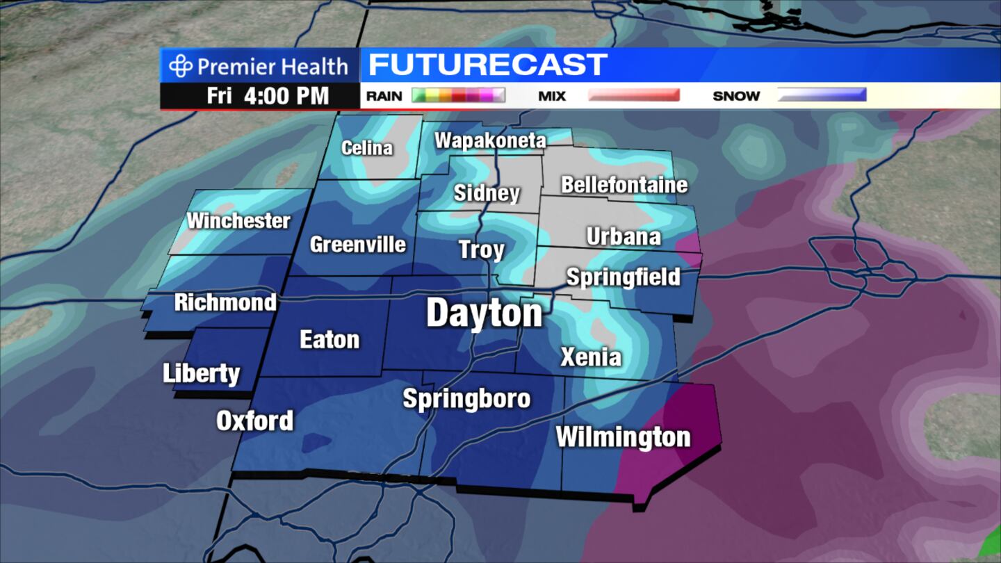
Storm Center 7 Meteorologist Brett Collar said the cold air changed the rain over to a wintry mix, which started occurring in the northwestern part of the viewing area as ice is forming on trees before noon..
The transition from rain to a wintry mix continued from west to east through the afternoon hours, according to Collar.
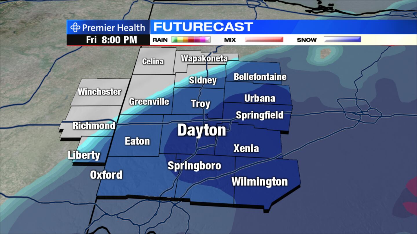
This wintry mix will change over to snow in the later afternoon and early evening. By sunset everything is snow.
STAY ALERT: Dayton traffic from the WHIO traffic center
“This changeover will lead to wet and slick roads at times,” Collar said. “With the ground being so warm, it will take some time for icy spots to develop on area roadways.”
By Friday afternoon, slick spots can be expected area-wide.
Expect a slow evening commute as the snow will begin to accumulate on roadways.


