DAYTON — UPDATE @ 8:40 a.m. (Jan. 10):
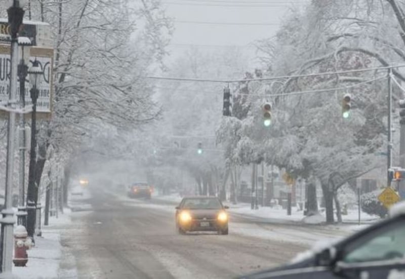
Our Storm Center 7 meteorologists are closely monitoring a potential winter storm that could impact the Miami Valley as we end the week.
The travel forecast for Thursday through Saturday is a mixed bag of precipitation, Storm Center 7 Meteorologist Kirstie Zontini said Wednesday.
>>Track the latest conditions with live WHIO Doppler 7 Radar
The evening commute is expected to feature wet roads as rain showers move in through the overnight.
“As cold air cuts in with this system on Friday, road conditions will deteriorate quickly,” Zontini said. “There is still the potential, especially in the Dayton-area, to see a wintry mix before the whole region transitions to snow for Friday evening.”
RELATED: Winter Weather Awareness: What to have in your car kit
“The snow should stop accumulating Saturday morning, but with temperatures in the 20s, then single digits Saturday night, even if the Miami Valley doesn't see the most snow from this system, slick roads will likely be a problem,” Zontini said.
FIRST REPORT (Jan. 9)
This has the potential to be one of the biggest winter storms to impact our region in a couple of years. However, there are a lot of unknown variables at this point, so a lot could change.
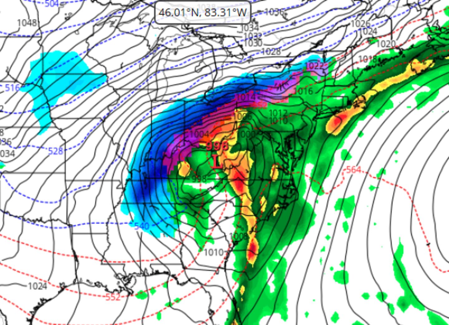
As is typical with these systems, the exact track will be crucial to not only determine how much snow we get and also whether the precipitation falls as snow, sleet, freezing rain or just plain rain. However, much of the long-range model data does show a significant winter storm moving through Ohio beginning midday Friday and lasting into Saturday.
The two major models we use are the European model and the American, GFS model. The European model shows snowfall amounts in the Dayton-metro area of between 5 to 8 inches with the GFS model tops out between 8 to 11 inches of snow.
Higher amounts could fall north of the main track. We will have to monitor this storm very closely as we have seen quite a bit of variability in each model run, we just don’t exactly know how much snow will fall or if rain winds up being the primary precipitation we receive.
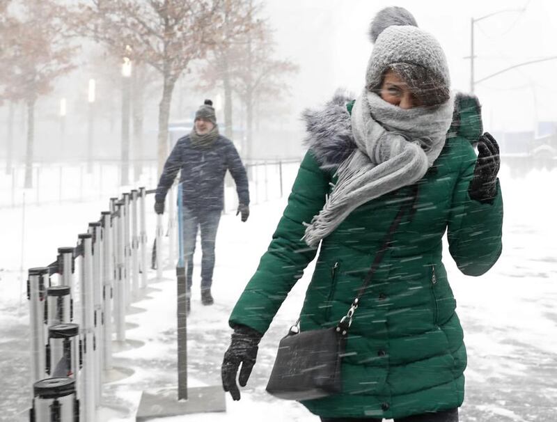
It is also important to note that most of the models show gusty winds with this system, which could lead to blowing and drifting of the snow, regardless of the amounts. Temperatures will also be dropping through the day Friday with highs back into the teens this weekend.
Meteorologist Eric Elwell explains how potholes are formed
We want to let people know that now is the time to be sure you are prepared for a significant storm, even if it turns away from us. We certainly do not want to add hype, however, it is better to be ready instead of having to rush to prepare if the warnings get issues.
Our meteorologists should know a lot more about the track of this major storm by late Wednesday or early Thursday.
Be the first to get the latest weather forecasts and updates when you download the WHIO Weather App.


