The new Doppler 7 Interactive Radar on WHIO.com has a multitude of options, helping you track all types of weather, not just locally, but across the entire country.
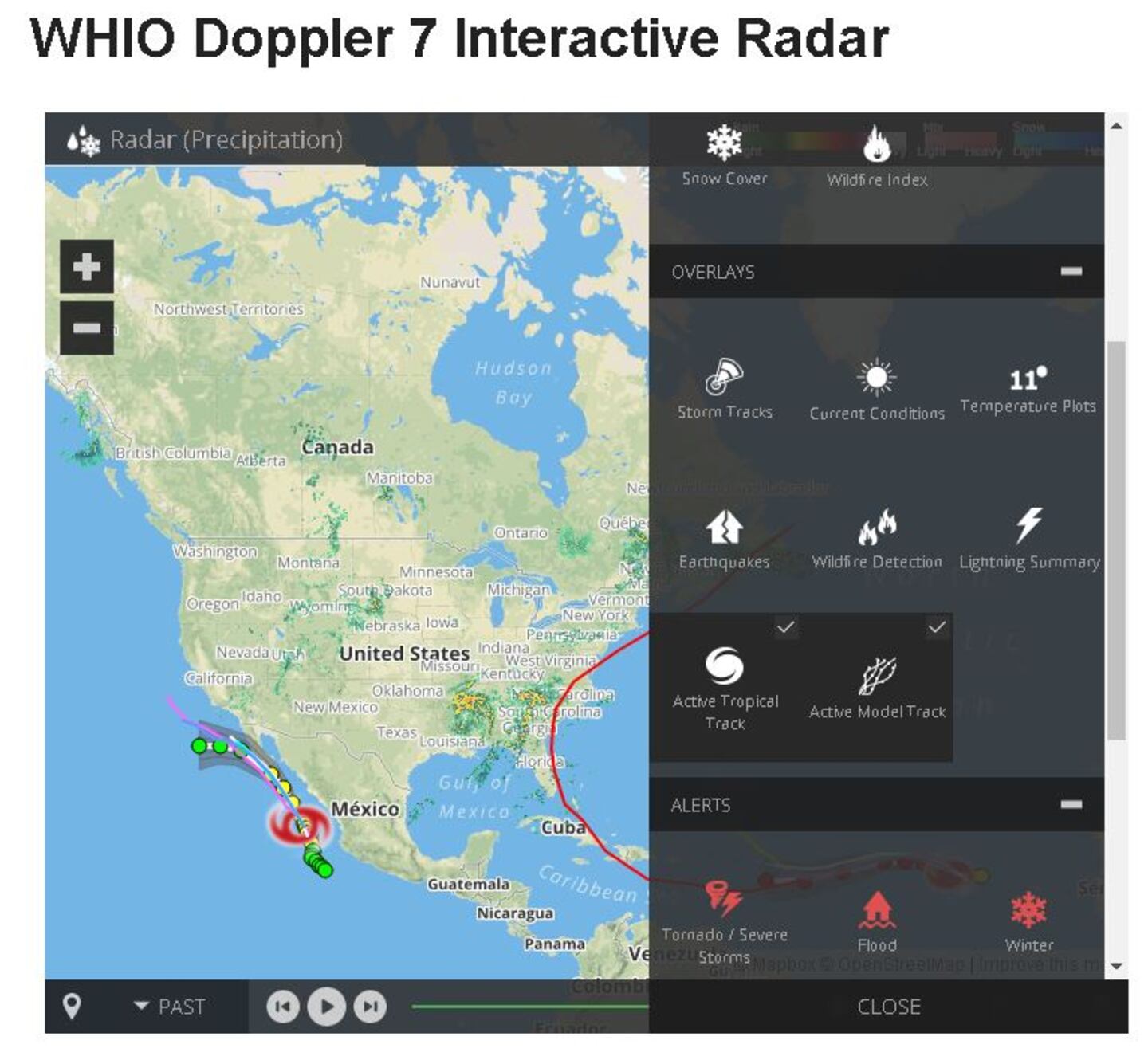
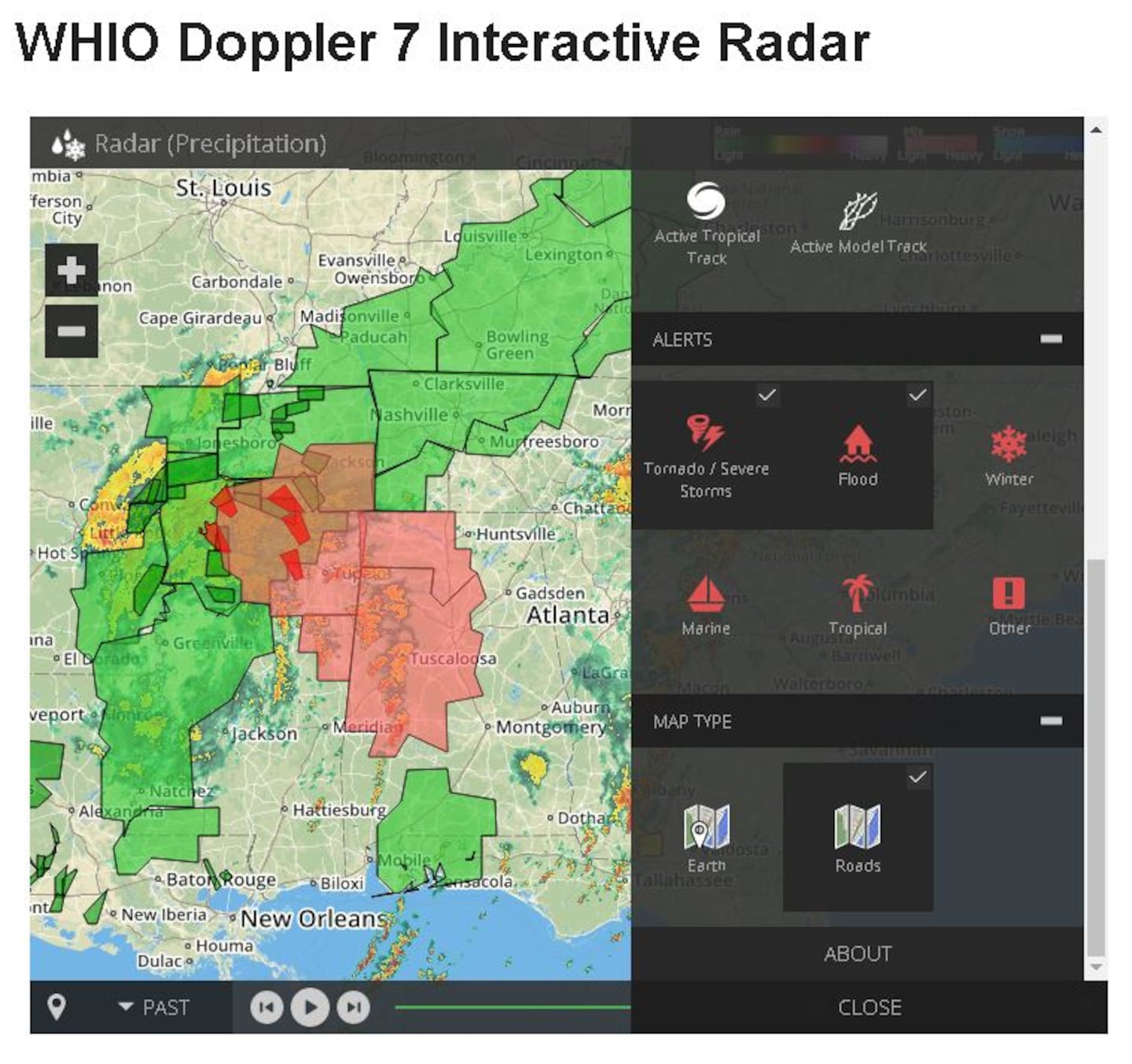
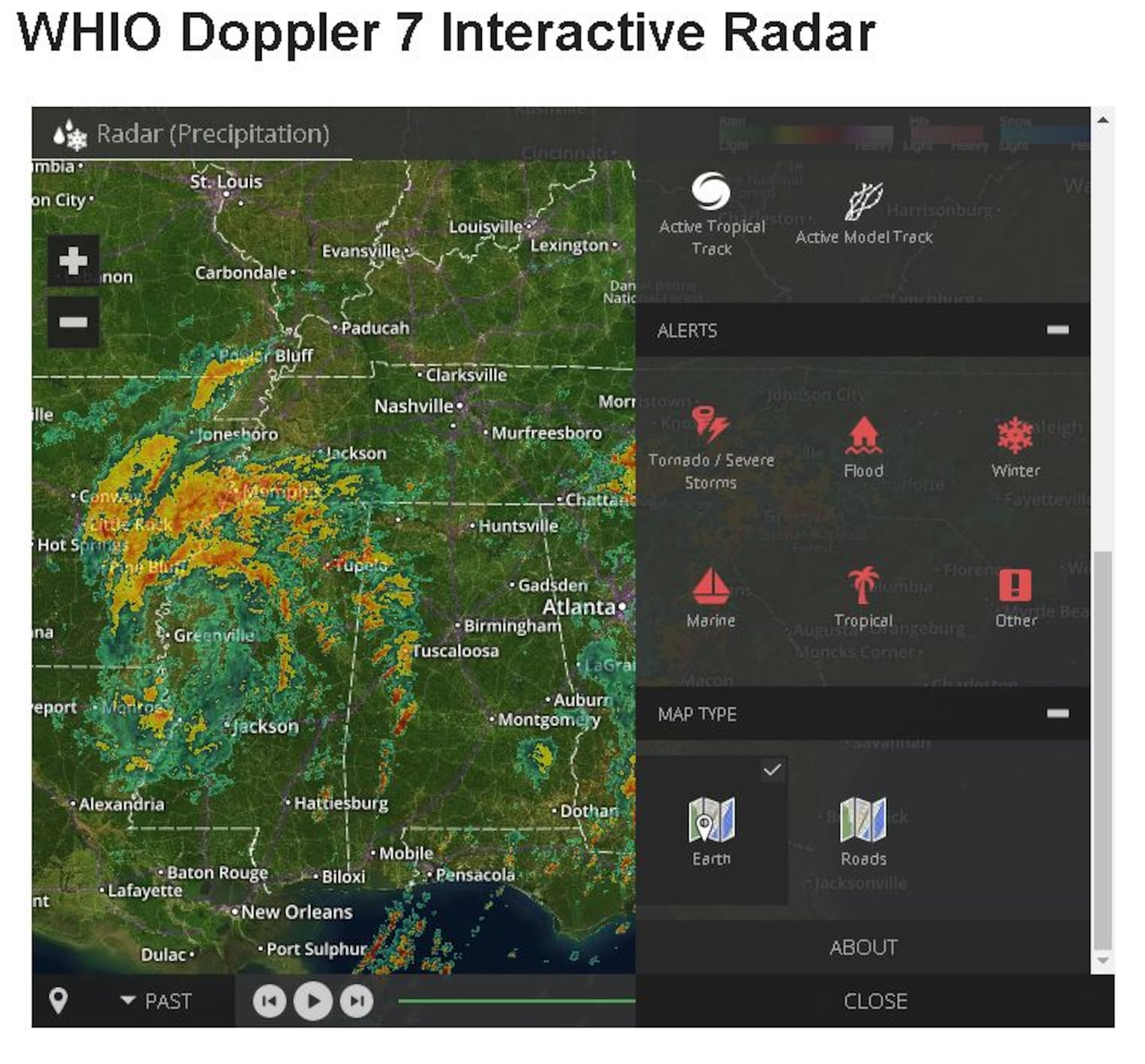
By clicking on layer tab located on the bottom right corner of the radar, a list of options will appear. Several choices within this list can be displayed on the interactive map.
Here’s how they break down:
- In the layers group there is an option to choose radar, satellite, temperature, wind speed, road weather, snow cover and wildfire index to create the base map. You can only choose one of these options at a time.
- Next are the overlays. Within this group, each item listed may be used to overlay onto the base map. These options include storm tracks, current conditions, temperature, earthquake, wildfire detection, lightening, active tropical tracks and active model tracks.
- Alerts come next. Options include tornado/severe storms, flooding, winter, marine, tropical and "other" alerts. You can choose one, or all of them to be display at the same time.
Lastly, you may choose the map type. There are two options. One is an earth based map. This will show more terrain. The second option will display roads and highways in a clearer and visible mapping. Only one map type can be picked at a time.
Of course, you can still pan and zoom around the map as before, along with playing past and future radar loops. Enjoy, and have fun using the NEW WHIO Doppler 7 Interactive Radar.


