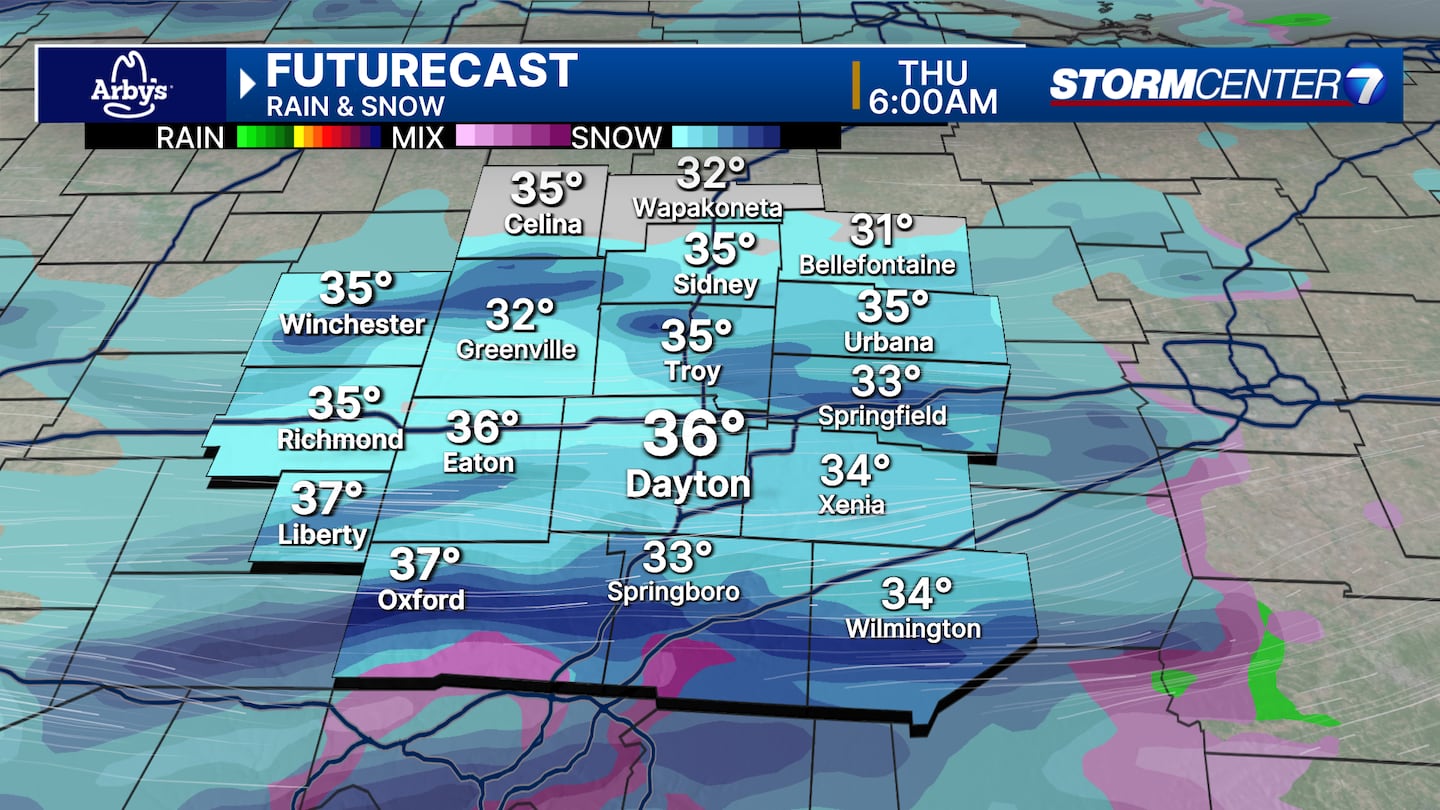
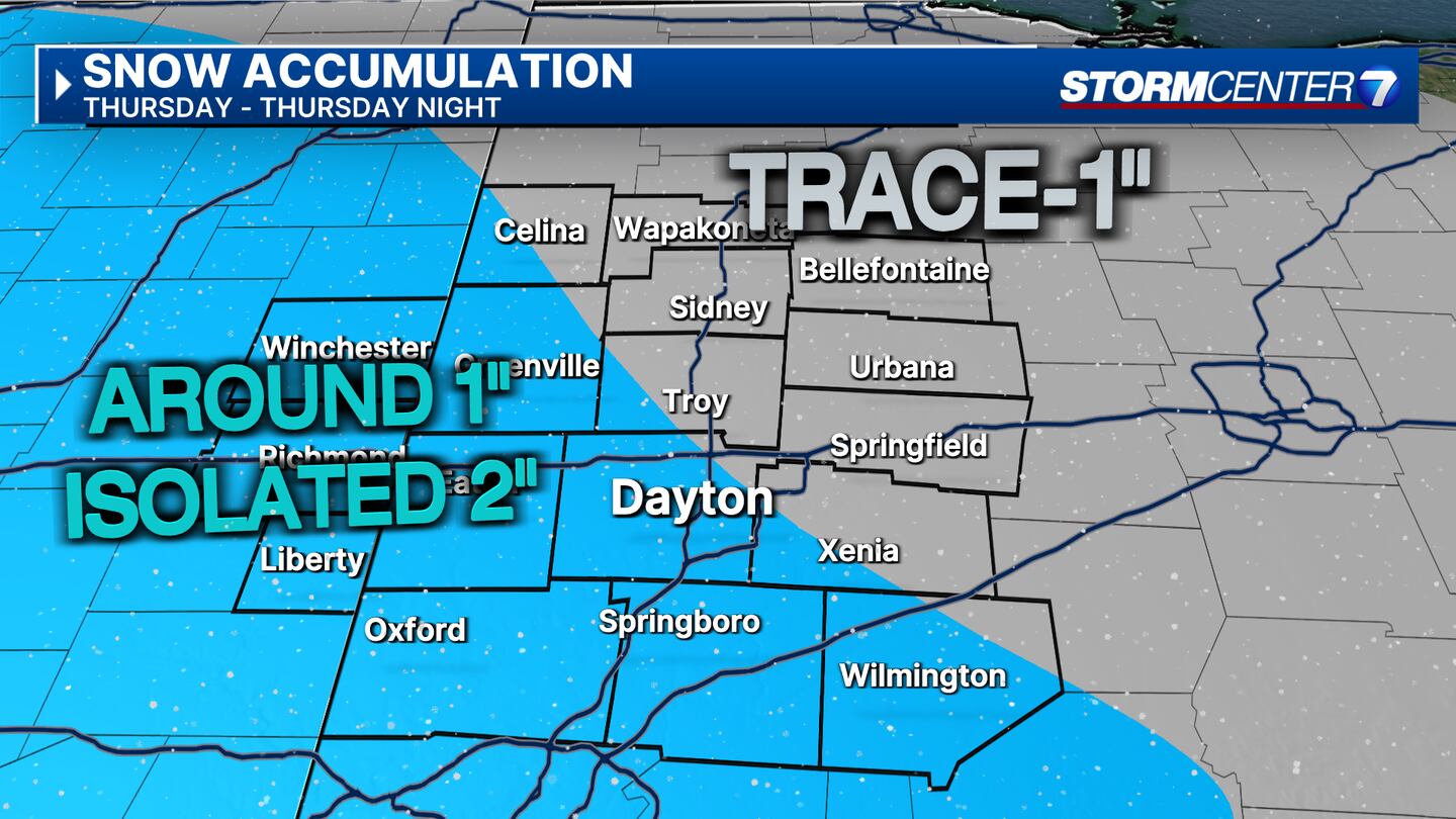
DAYTON — Snow showers are likely on Thursday, but there have been some shifts in when it will move through.
[DOWNLOAD: Free WHIO-TV News app for alerts as news breaks]
Storm Center 7 Meteorologist Ryan Marando has been tracking this system. He will have the latest impacts and timing LIVE on News Center 7 at Daybreak starting at 4:25 a.m.
MORNING:
Banded snow showers move through between 5 a.m. and 10 a.m. Thursday.
These snow bands could create heavier bursts of snow that briefly reduce visibilities and create some slick spots, especially on bridges and overpasses.
Burst of snow that briefly reduce visibilities and create some slick spots, especially on bridges and overpasses. Not everyone will see these.
MIDDAY:
A lull in the action can be expected. Cloudy skies, some scattered flurries, and wind chills in the lower 20s.
EVENING:
Another round of snow approaches from the northwest. This is the round that now appears to be taking a more westward/southwestward track.
Steady snow is still possible in Darke, Preble, Butler, and Warren counties.
Lighter everywhere else northwest.
The system continues to move and our team of Storm Center 7 Meteorologists will continue to update you on air and online.
[SIGN UP: WHIO-TV Daily Headlines Newsletter]


