MIAMI VALLEY — The Miami Valley could see another round of severe weather late Wednesday evening.
Our team of Storm Center 7 meteorologists will continue to track this system and have the latest LIVE on News Center 7 starting at 5:00 p.m.
>>TRACK THE LATEST CONDITIONS: Live Doppler 7 Radar
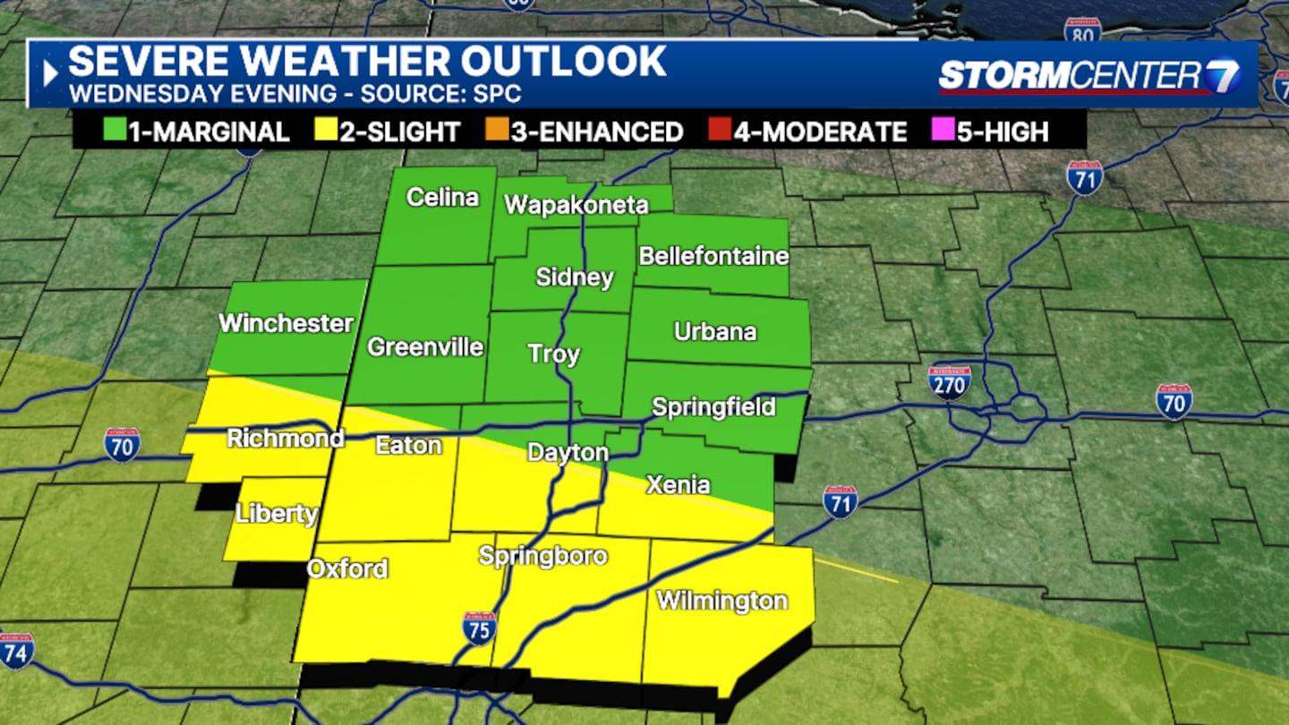
A MARGINAL risk for strong storms is placed across much of the Miami Valley, according to the Storm Prediction Center (SPC).
Areas south of Interstate 70 are under a SLIGHT risk for this evening, according to Storm Center 7 Meteorologist Britley Ritz.
TIMING:
The atmosphere will recharge with mostly sunny skies today and afternoon temperatures reaching the mid-80s.
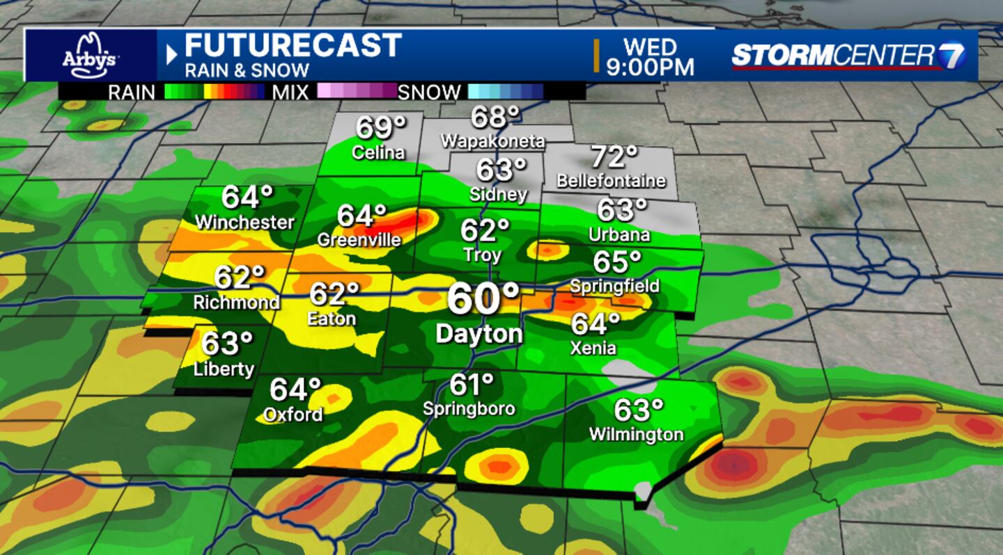
Storms will return mainly after 7 p.m. this evening, Ritz says.
They will linger throughout the evening hours.
>>Dry start today, severe storms possible late tonight; Cooler this weekend
>>Severe Weather: Slight vs Enhanced Risk
SEVERE THREATS:
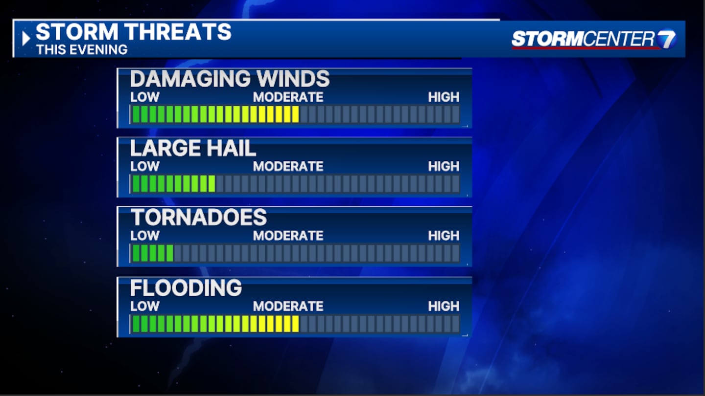
Once again, all hazards are in place, Ritz states.
This includes damaging winds, large hail, tornadoes, and flooding.
Even though the threat is not as strong today, there is a chance, nonetheless, Ritz says.
Flooding has become an even bigger concern considering we are now saturated.
Additional rainfall and heavy rain rates are expected.
Our Storm Center 7 team of meteorologists will continue to track the system ahead of the storms.
We will bring you the latest information on air and online.
©2024 Cox Media Group


