MIAMI VALLEY — There is a chance for strong to severe storms and potential flooding now through Tuesday across the much of the area.
Storm Center 7 Chief Meteorologist Austin Chaney is tracking this system and will have a full update starting later today at 5 p.m. on News Center 7.
>>Strong to severe storms possible today; Flood Watch for most of region through tomorrow
Showers and thunderstorms remain mainly north of Interstate 70 early Monday morning. A lingering shower is possible through the afternoon, otherwise mainly cloudy until late, according to Ritz.
The Storm Prediction Center (SPC) has a Marginal to Slight Risk out now for severe weather.
Ritz says that she continues to expect the coverage of severe storms to remain isolated.
A FLOOD WATCH will be in effect for much of the region starting this afternoon with rainfall totals today alone to reach one to two inches.
>>TRACK THE LATEST CONDITIONS: Live Doppler 7 Radar
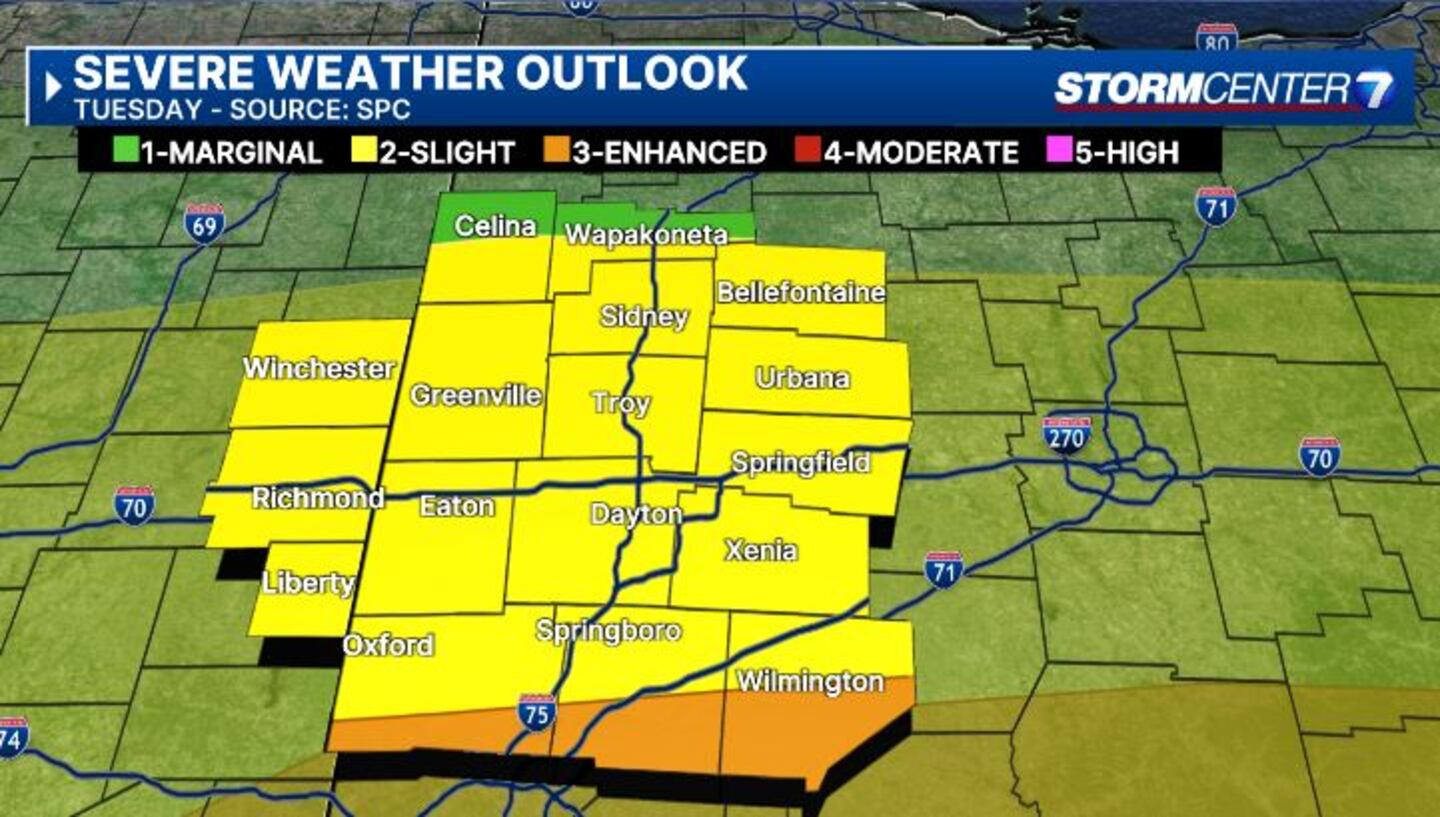
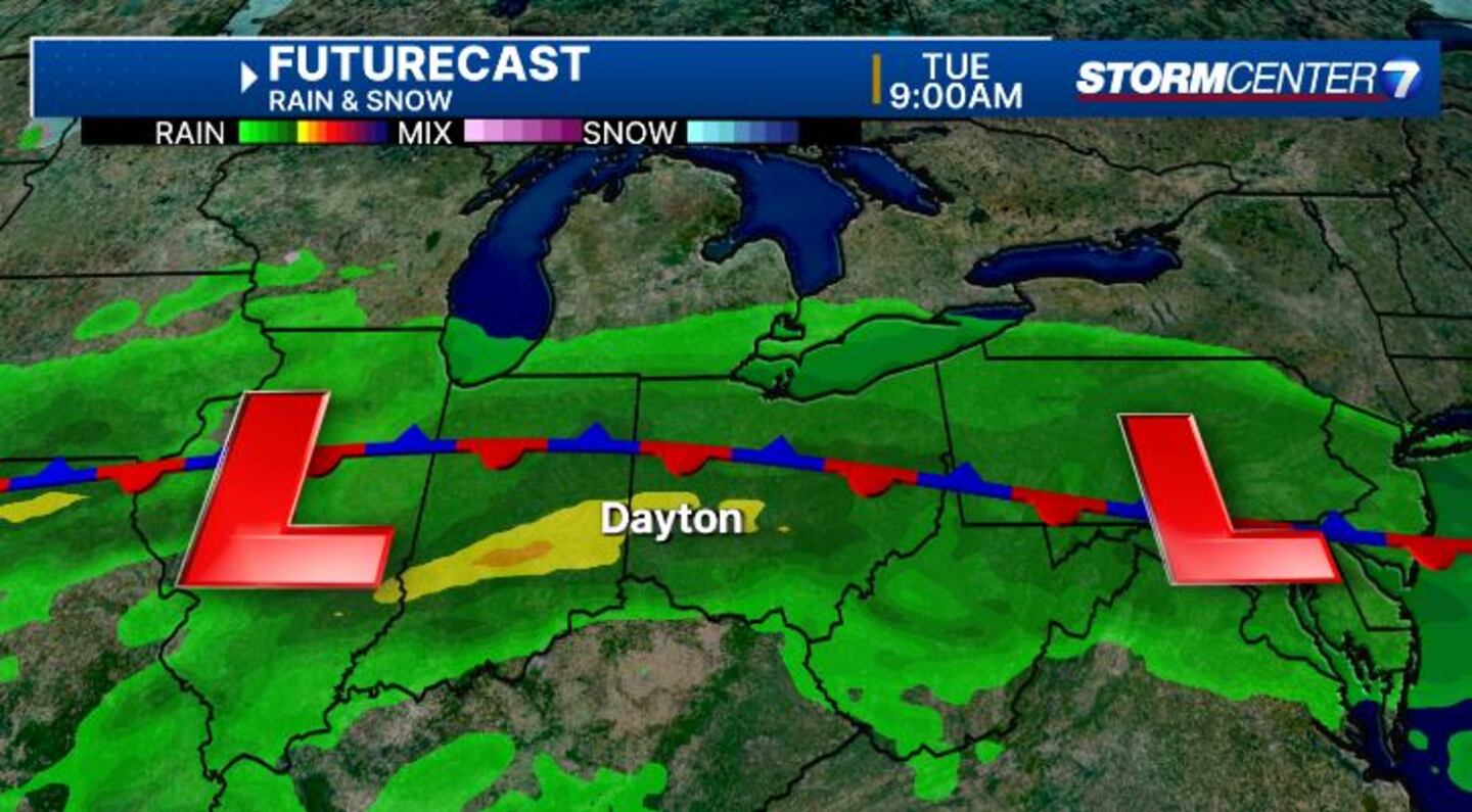
Tuesday’s severe storm threat has trended upward for us locally as of today, however, this is even less certain than Monday because of the same boundary, Ritz says.
Models are split on how far north it can go. This will dictate how severe our storms could become.
As of now, Tuesday stands to be the best overall chance of severe weather as the SPC has us under a Marginal to even an Enhanced risk of severe weather.
All hazards are possible, including damaging winds, hail, and a few tornadoes.
Current timing looks to be 4 p.m.-10 p.m.
We will continue to provide updates.
©2024 Cox Media Group


