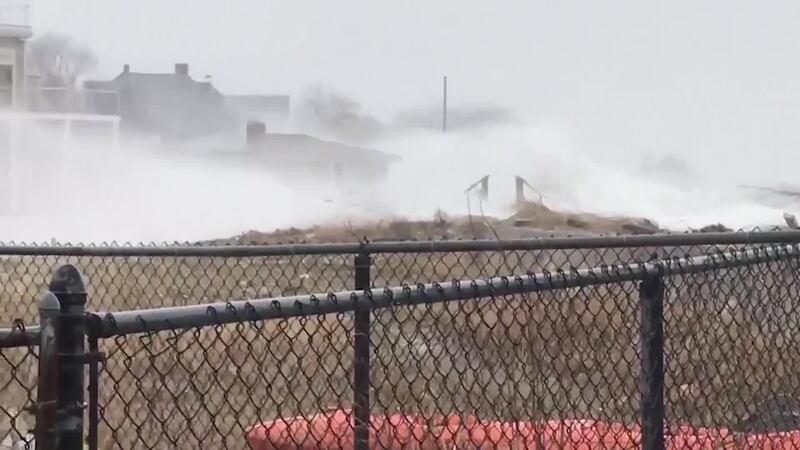
A powerful storm up the East Coast has caused flight cancellations this morning.
This powerful type of winter storm is known as a Nor'easter, said Storm Center 7 Kirstie Zontini said.
LOCAL WEATHER: Frigid temperatures remain this week
“A Nor'easter gets its name because the winds in the coastal part of the storm are typically moving from the northeast. These types of storms usually develop between September and April and can develop between Georgia and New Jersey,” Zontini said.
>>Track the latest conditions with WHIO Doppler 7 Radar
“The area of low pressure hugs the coast staying around 100 miles east or west of the Eastern coastline. A Nor'easter will typically move northeast, continuing to strengthen, peaking near New England or eastern Canada,” according to Zontini.
RELATED: Tips, warning signs for frostbite, hypothermia
“Storms like this can go through what is called ‘bombogensis’ which is when a low-pressure system rapidly intensifies, dropping 24 millibars or more in 24 hours.”
RELATED: Lose power in the cold? Here's what to do
A Nor'easter usually produces heavy rain or snow and is also known for very strong wind gusts and dangerous surf. The big cities that can fall in the path of a Nor'easter include Washington D.C., Philadelphia, New York and Boston, Zontini said.
“During the winter, these storms develop off the East Coast because it is when the polar jet can dip south, bringing very cold air to southern states,” Zontini said.
“The warm gulf stream waters hug the East Coast and warm the air over the coastline. The cold land air then can move toward the relatively warmer air over the ocean and feed or enhance the development of theses low-pressure systems.”
Some past Nor'Easters include the New England Blizzard of February 1978 and the March "Superstorm" of 1993.


